How a city gets onto the map
Berlin publishes a 3D model of every building, a photo of every roof and the height of 962,000 trees. Here is how that data becomes a drawing, and what went wrong on the way: oil tanks with windows, a subway in traffic, people walking across the Danube.
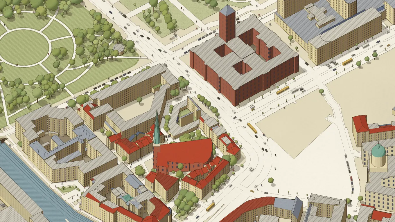
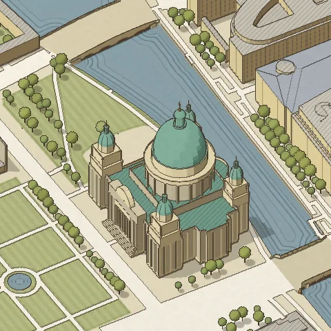
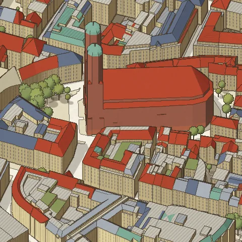
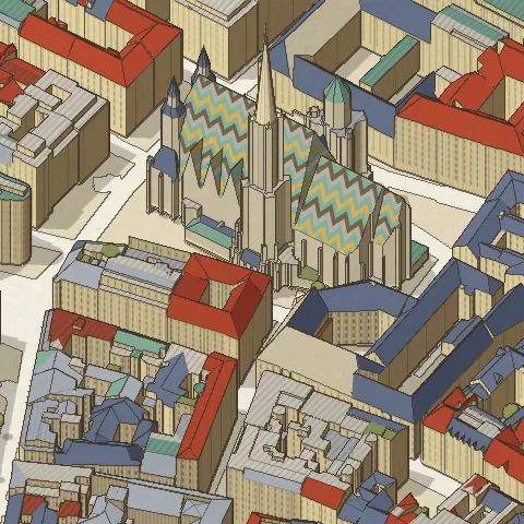
I wanted a map of Berlin that looked like the Plan de Turgot, the bird’s-eye view of Paris from the 1730s where you can count the windows on every house. I expected to draw most of it by hand. Berlin had already measured nearly all of it, and most of my work turned into arguing with the data.
Buildings
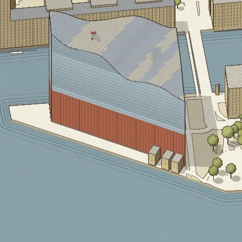
The buildings come from the city’s 3D model, which Berlin gives away in squares of one kilometre. One square by the Nikolaiviertel is a 32 MB file with 763 buildings in it: every wall and roof face, the height, and a code that says what the building is. The code is how the map knows to give a church tall arched windows and a block of flats rows of small ones. It also caused trouble. In Hamburg the oil tanks and grain silos came out as houses with neat rows of windows, until I taught the map which codes are structures.
Roofs
The roof colours come from an aerial photo of the whole city, half a metre to the pixel. For each roof I take the colour of the photo inside its outline and sort it into one of the five inks an engraver would have used. The photo has a faint green cast, so a roof has to be clearly green before I call it copper.
Trees
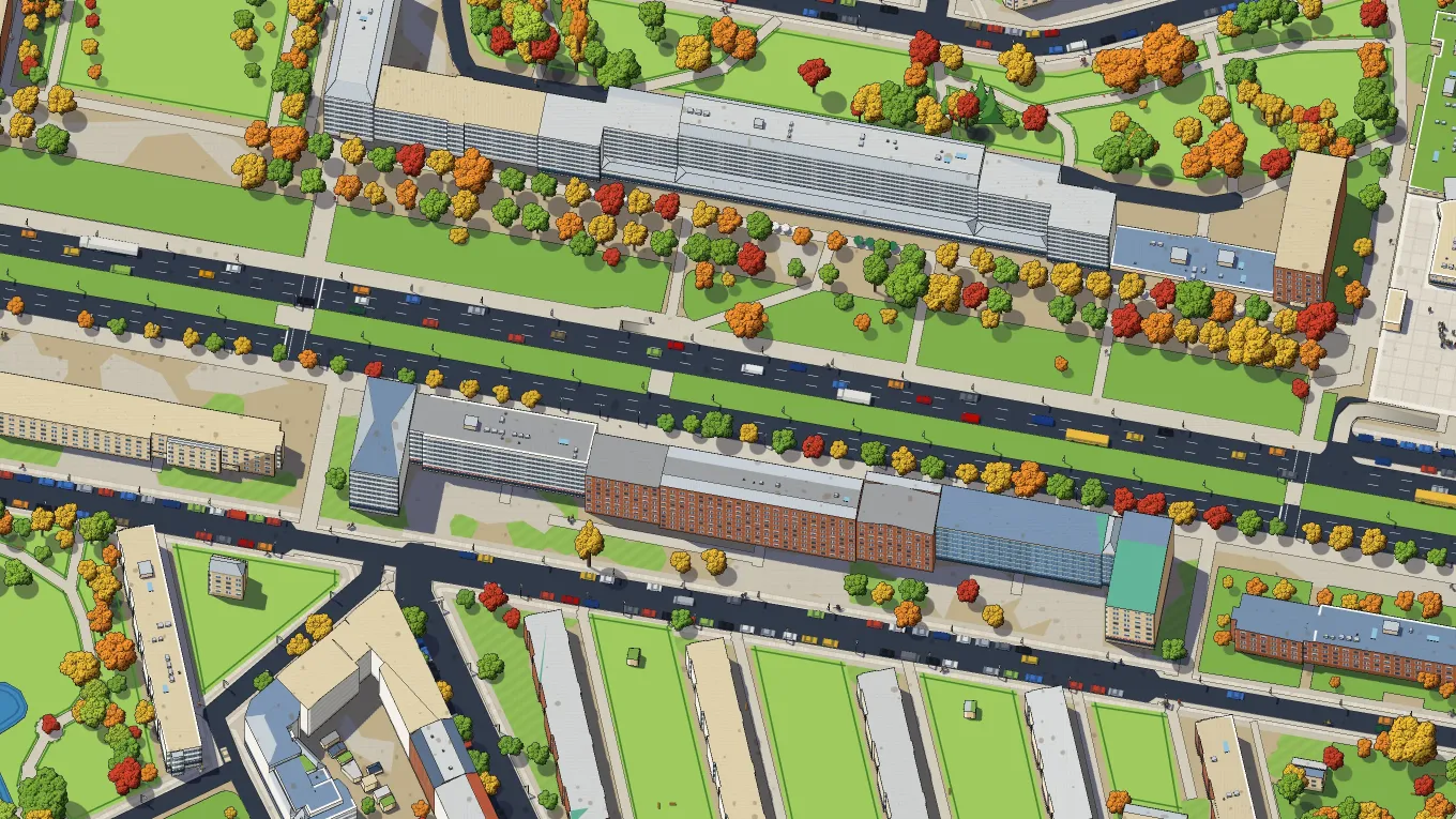
Trees were the nicest surprise. Berlin keeps a register of 962,000 street and park trees, each with its height and the width of its crown. An old lime in an avenue stands 20 metres tall on the map, and a tree planted last year stands 6. The forests are not in the register, so I draw the woods as a canopy, with clearings and paths taken from OpenStreetMap.
OpenStreetMap
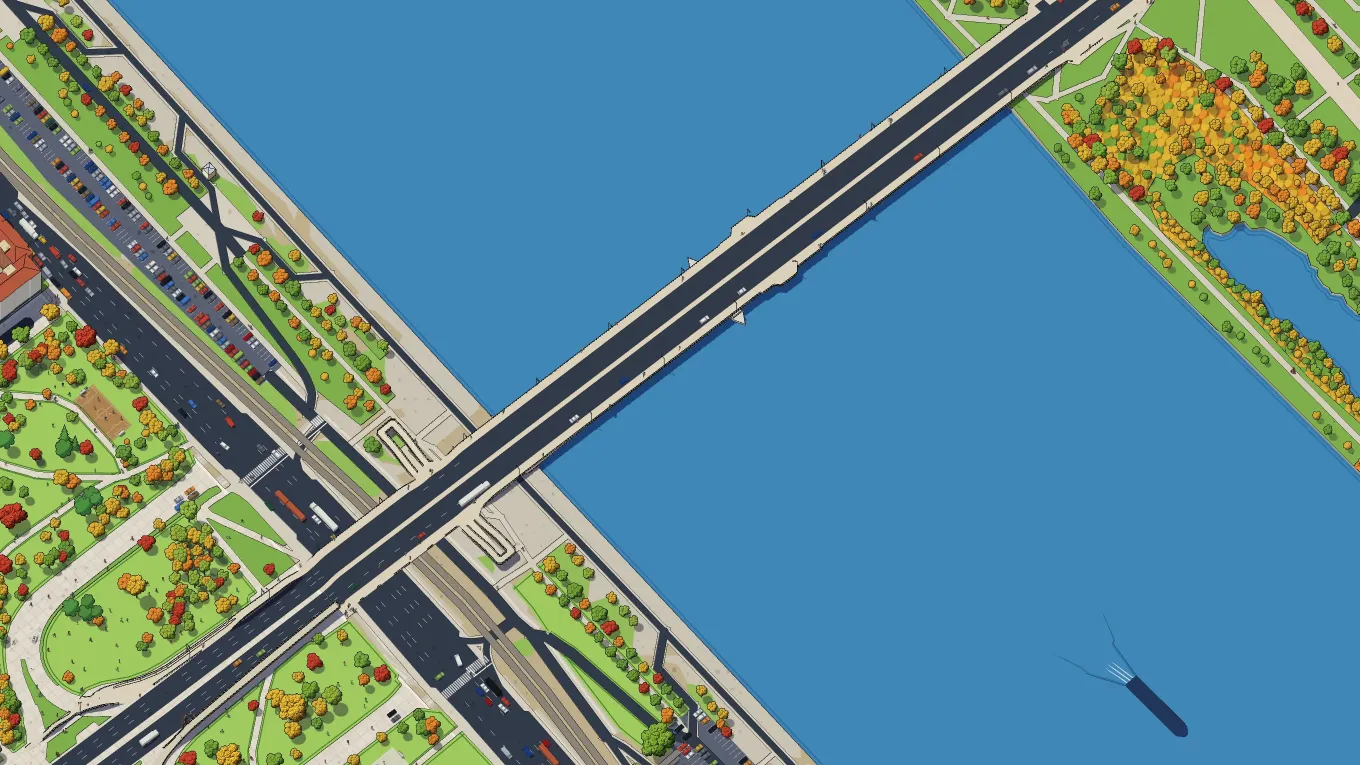
Everything else comes from OpenStreetMap, the map that volunteers draw by hand: streets, rivers, rail lines, which roads are one-way, where people park. The traffic on the map follows it, and so it follows its mistakes. In Vienna the U1 drove across the Reichsbrücke among the cars for a day. A few days later I found 139 footpaths that went straight across the Danube, with people on them.
By hand
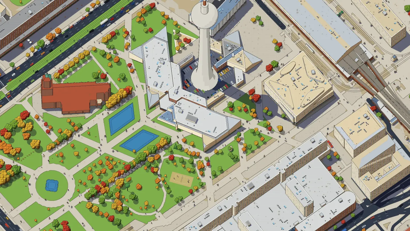
Some things the data cannot know. Every stela of the Holocaust Memorial has the same placeholder height of 3 metres in the city model, so I rebuilt them to rise towards the middle, as they do when you walk in. The Fernsehturm has no ball in the model. The best-known buildings, more than 160 of them in Berlin, I modelled by hand from photos and plans, and each model names its source. I also added street names once and took them off again a day later, because they made the drawing ugly.
The other cities
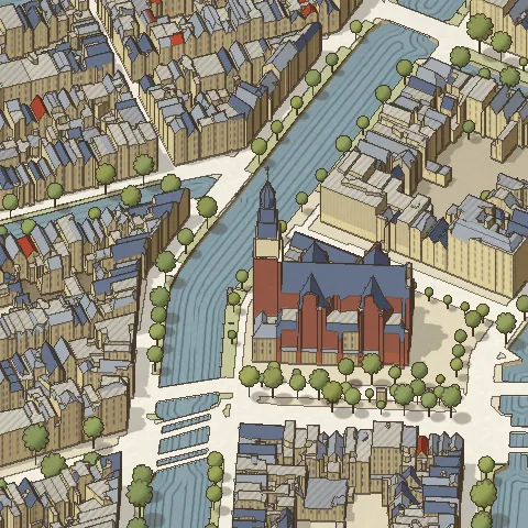
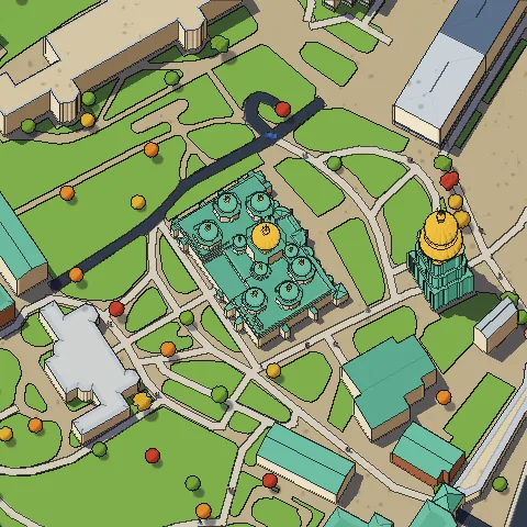
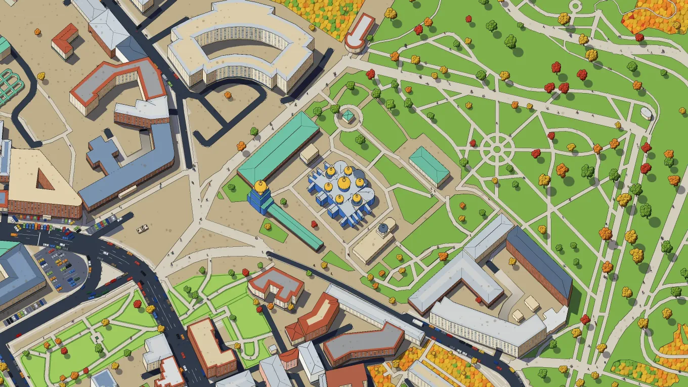
The other cities each broke something new. Vienna and Amsterdam use their own grids, so I had to write the maths for those grids. Vienna’s 3D model is from 2013, older than half its skyline. Kyiv has no open 3D model at all, so its houses are built from OpenStreetMap, and each house is as tall as the number of floors a volunteer entered.
No AI
None of the picture comes from AI. I tried a neural network once, to find cars in the aerial photo, and I deleted it. Every house stands where the city measured it, and when a value is missing, a rule I wrote fills the gap. If you find your street drawn wrong, use “Report a place” in the map menu. In most cases the cause is in the data, and I can fix it there.